 |
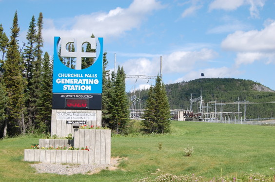
Watts going on here?While the town of Churchill Falls is similar to Fermont in that it is a purely functional workers village, the power plant is definitely worth a visit. Just visit the hotel/restaurant/library/community centre building and you should be able to arrange a tour. On the sign you can see the current power production in megawatts. |
 |
More of the same285km of the same big gravel highway awaits you. |
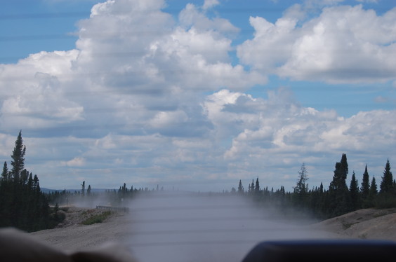 |
Dusty rooster tailIt's a good thing that these roads are lightly travelled because the amount of dust kicked up is significant. If anyone is on your tail, just let them pass. It's no fun filling your lungs and the interior of your vehicle with all that dust! |
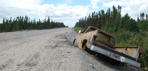 |
Charred truckI suppose this is one of the highlights of this portion of the trip. Although we did see a black bear in the road about an hour earlier. |
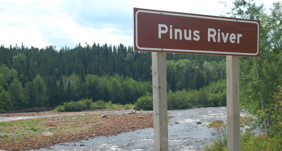 |
It's pronounced how?Before you arrive at this awkwardly named river, you'll get to enjoy some semi-mountainous driving that is a welcome change. You should also notice that the trees and vegetation change somewhat with the terrain. |
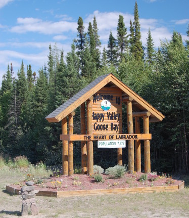 |
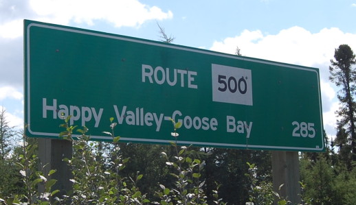
Happy Valley-Goose BayThis sign will welcome you to Happy Valley-Goose Bay, albeit a bit prematurely. You still have a bit of driving before you arrive in town: Happy Valley will be to the right, and Goose Bay to the left. |
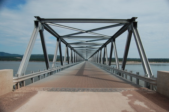 |
New bridgeA ways before the sign above, there's a road on the right leading towards the Churchill River. This is the start of the final portion of the Trans-Labrador which will link to the Atlantic coast. It should be open in 2009. We ventured as far as the bridge across the Churchill River. |
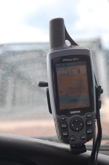 |
Too new for GPSAs you can see, this portion of the highway is too new for the GPS. In fact, we were generally disappointed with the topographic info for the Trans-Labrador highway. The maps often seemed to follow the original highway which has become the snowmobile trail. In any case, it's neat to seem to be in the middle of a mighty river and not be wet. |